


Self-guided motorcycle tour GPX routes are changing the way riders plan and experience motorcycle adventures worldwide. Gone are the days of rigid, expensive group tours—modern riders can find, download, and ride pre-built GPX tracks on their own, using just a smartphone or GPS device. Here’s how to harness this approach for flexible, affordable, and truly independent adventure riding.
Key Takeaways
- You do not need an organized tour to experience the world’s best motorcycling—download public GPX routes and ride at your own pace.
- Simple and free tools allow you to customize, edit, and export GPX tracks for offline navigation on your favorite devices.
- Understanding compatibility, offline access, and backup options ensures a smooth and safe self-guided motorcycle tour GPX routes experience.
Table of Contents
Why Use GPX Files for Self-Guided Motorcycle Tours?
Digital route sharing has made it possible for any rider to master self-guided motorcycle tour GPX routes without relying on commercial tour companies. GPX files—short for “GPS Exchange”—deliver maximum flexibility. You decide when to ride, stop, or detour, all while following proven motorcycle routes built by real riders and communities. The key advantages:
- Total freedom: Ride solo or with friends, pause anytime, and avoid the stress of keeping up with a fast group tour.
- True adventure: Discover offbeat backroads, scenic twisties, and remote trails—often those missed by generic guides.
- Offline ready: GPX files are universally supported, letting you navigate even far beyond cell coverage. According to research, “virtually the entire motorcycle navigation segment from devices to apps supports GPX” (source).
- Cost savings: Download community or pro-built GPX tracks for free or at a low fee, instead of paying for package tours.
- Customization: Edit waypoints, add food or fuel stops, or mix adventure dirt with scenic asphalt for a personalized route.
- Compatibility: From ride-focused GPS units like Garmin Zumo to smartphone apps such as OsmAnd and Maps.me, GPX works everywhere.

Where to Download Motorcycle Route Files (GPX)
Ready to download motorcycle route files for your next adventure? Riders have built a treasure trove of GPX tracks around the world. Here’s where to look:
- RideLink: View public motorcycle tours on an interactive map, export as GPX files, and edit waypoints before loading into the app or your GPS. It’s free and global. “RideLink…lets you view public tours on a map, export any route as a GPX file and edit waypoints before loading it into its Android/iOS navigation app” (source).
- MotorcycleRoads.com: One of the largest collections out there. “MotorcycleRoads.com…click on the red download GPX file button” (source).
- Best Biking Roads: Browse and download GPX files by continent, country and region—great for international travel planning.
- RoadRUNNER’s GPX.Studio: Build or edit your own routes, or start with existing files and tweak to fit your needs.
- Other platforms (forums, dedicated Facebook groups, ADVrider threads) are goldmines for unique, lesser-known tracks.
Each offers a slightly different browsing, editing, and download process—but all support easy GPX export for quick import into your device or navigation app.
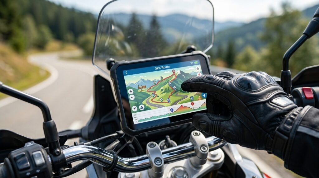
Customizing and Planning Your Own GPX Route
Downloading is just the start. The magic of self guided adv tour planning lies in tweaking and refining routes for your own adventure—ideal fuel stops, photo spots, or tricky off-road sections. Here’s how to take control:
- Open your file in an online GPX editing tool like GPX.Studio or the built-in planners on RideLink and Best Biking Roads. “RoadRUNNER’s GPX.Studio web tool lets you create or customize routes and export them as GPX for any device” (source).
- Edit points: Add or remove waypoints, set gas or food stops, or adjust for dirt/asphalt preferences.
- Split routes into daily stages for longer trips—this is ideal for keeping each day manageable and letting you pre-plan camping or lodging.
- Export the revised file as a new GPX track, ready to use offline.
- Test in your navigation app or device before the trip to make sure the track appears correctly.
Some riders prefer building from scratch, using map planners to trace new lines. Tools like Kurviger, Gaia GPS, or even Google My Maps (with export) support this. For best results, always cross-check with satellite imagery and recent local reports—especially if venturing off high-traffic routes.
Internal resources can help make this even easier. For beginners, our AI motorcycle trip planner breaks down efficient route creation with smart AI tools, and solo motorcycle adventure travel gives you confidence planning on your own.
The Best Apps and Devices for Offline Route Navigation
Your GPX file is only as useful as your ability to follow it on the road. Here’s a comparison of the most reliable apps and GPS devices for offline route navigation app moto use:
| App / Device | Platform | Offline Maps | GPX Import Ease | Turn-by-Turn? | Price |
|---|---|---|---|---|---|
| OsmAnd | Android/iOS | Yes (full country-level) | Very Easy | Optional (Track following) | Free / paid upgrade |
| Maps.me | Android/iOS | Yes (global) | Easy (direct import) | Line-follow | Free |
| Locus Map | Android | Yes (detailed topo) | Easy | Yes | Free / paid |
| Kurviger | Android/Web | Easy download manager | Very Easy | Yes (best for twisties) | Free / paid |
| Garmin Zumo / Montana | GPS Unit | Preloaded / Purchased | USB GPX copy via BaseCamp | Yes | $$$ |
| Gaia GPS | Android/iOS/Web | Yes (topo/offroad) | Easy | Line-follow | Free / paid |
For basic navigation, OsmAnd is highly rated: “OsmAnd…lets you download and navigate .GPX files just like your trusty old Garmin Zumo…in Europe and the US it’s on par or better than purchased maps from GPS makers” (source). Maps.me is also an excellent lightweight choice, especially for remote regions. Many riders layer apps for redundancy—using a GPS unit as primary and a phone app as backup.
Internal guides, like our tutorial on reliable GPS navigation mounts, ensure your phone or GPS stays secure and visible at all times. For ultimate backup, check out compact battery chargers to keep all your devices topped up in the field.
Tips for a Smooth Self-Guided GPX Adventure
The best self-guided motorcycle tour GPX routes rides are usually trouble-free—but a few preparation steps go a long way. Here’s how to avoid the most common trip-killers:
- Check file compatibility: Test-load the GPX file on your device/app before you leave home. Not all devices interpret every GPX file perfectly.
- Download all needed offline maps in advance. Do this on WiFi—no one wants to realize they’re data-less in the middle of nowhere.
- Use a weatherproof, vibration-proof device mount. If riding in wet or rough conditions, consider a waterproof handlebar mount and keep a power bank handy.
- Always have a paper backup: Print your daily route essentials. Electronics can fail in the rain or crash after an unexpected drop.
- Join community forums for updates. Recent storms or construction can alter even the classic rides. Share your updated GPX for future riders too.
- Use a secondary navigation app or GPS as backup—especially for long or international rides. Maps.me allows import of GPX, KML, and KMZ files directly into offline maps. Serious riders use it as a powerful navigation tool in remote areas (source).
Want to level up your ride comfort? Check out our picks for a lightweight heated vest for chilly mountain days or electronic earmuffs to cut wind noise on big-mile days.

Resources and Further Reading
Ready to go deeper? Bookmark these trusted resources to download motorcycle route files, tweak GPX file motorcycle trip tracks, and learn more:
- RideLink: Interactive map, route planner, and GPX exports.
- MotorcycleRoads.com GPX FAQ: Direct GPX downloads, app/device instructions.
- Best Biking Roads: “Browse, view, and download GPX routes from all over the world, organized by continent, country and region” (source).
- How To Create Motorcycle Routes with GPX.Studio for FREE: Practical video guide to building and customizing GPX tracks.
- For packing advice and roadside troubleshooting, see our guides on motorcycle camping gear and tubeless tire repair kits for backcountry safety.
FAQs
Is using self-guided motorcycle tour GPX routes legal everywhere?
Mostly yes, but always check local laws—some countries restrict trail or backroad riding, and private lands are generally off-limits. Stick to public roads or designated ADV routes for best results.
What do I do if my GPX file won’t open or display correctly?
Try a different app or upload to an online GPX editor like GPX.Studio to diagnose. Some apps require “track” or “route” GPX types—use a conversion tool if needed. Community forums often have troubleshooting threads specific to devices and platforms.
How do I ensure my GPX navigation works offline?
Before leaving cell service, open your navigation app, load the GPX track, and pre-download the entire map region. Test while in airplane mode at home. Always carry a backup power source for your phone or GPS unit on longer tours.
Can I share my GPX routes with friends?
Yes. Most route planner sites and apps support exporting or sharing GPX files by email, cloud, or chat. Sharing helps others plan safer, more fun adventures—just make sure to include recent detour or hazard notes.
What if I hit a closed road or obstacle on a downloaded GPX route?
Create an on-the-fly detour using your map app, then rejoin the planned route. Consider reporting the closure and sharing an updated GPX with the community to help future riders avoid the same issue.
—