

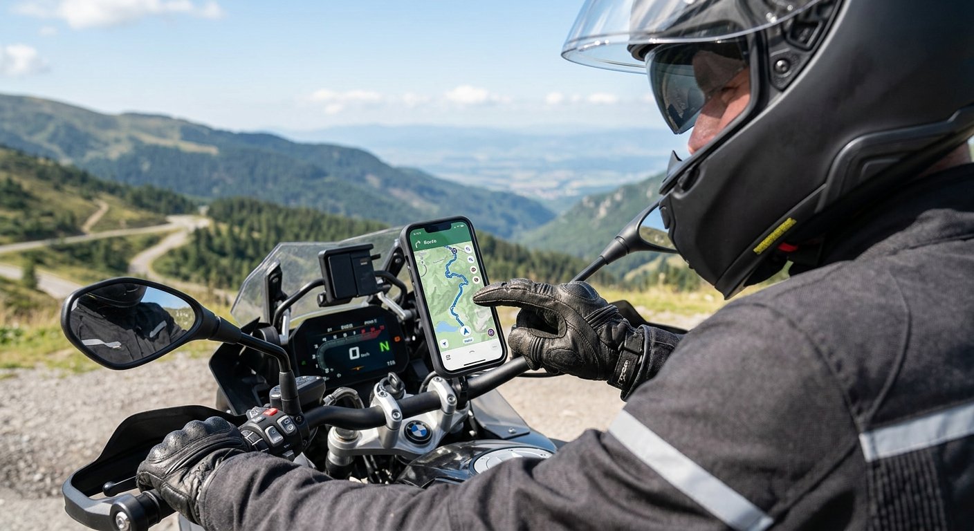
Offline gps app motorcycle solutions are mission critical for overlanders who ride beyond the grid. When cell service ends, your navigation app is your lifeline. If you’re planning serious remote motorcycle travel, you need more than just “another top navigation app” — you need the right tools and a smart workflow to stay safe, flexible, and on route even in the most unforgiving terrain.
Key Takeaways
- Both Gaia GPS Premium and OnX Offroad Elite offer robust offline map functionality, but Gaia GPS is stronger for route-building and global coverage.
- Serious overlanders often use both apps, but Gaia GPS Premium is the all-round best offline GPS app for motorcycle adventure outside marked US trails.
- Effective planning means downloading layered maps and GPX routes before you leave, organizing files, and prepping your phone and accessories for harsh trail realities.
Table of Contents
Why Offline GPS Matters for Motorcycle Overlanding
If you ride serious backcountry miles, your phone’s cell signal is almost guaranteed to disappear at the worst time — deep in the woods, at the edge of a canyon, or halfway across a desert. That means your navigation app must function entirely offline. A true offline gps app motorcycle solution lets you view high-detail maps, POIs, tracks, and custom routes wherever you are, regardless of connectivity. This is the only way to maintain safety and flexibility when plans change, trails vanish, or you need to reroute on the fly.
According to field reports, “Both apps let you download maps for offline use. Both work without cell service (essential for backcountry riding).”[1] If you want to master adventure riding, start with apps designed for true offline use, not just basic road navigation. Your toolkit should make it impossible to get stranded by a lost connection, even on international expeditions.
Gaia GPS vs OnX Offroad: Which Is Better for Motorcycle Adventures?
Let’s go past the generic app lists and look at what actually matters for motorcycle overlanders facing real risks. If you only need basic point-to-point road routes, almost any navigation tool will do. But riding off-grid for days—solo or in groups—presents technical demands only a handful of apps can meet.
Map Layer Depth & Planning: Gaia GPS stands out for its extensive map layers: multiple topo styles, USFS MVUM, BLM management units, slope shading, wildfire history, and worldwide satellite options. This makes it ideal for building custom, multi-day motorcycle routes—even outside North America. Its web dashboard allows for meticulous route design before syncing to mobile for offline use.
Trail Database & Fast Discovery: OnX Offroad excels with its huge US-based, crowd-sourced trail database, turn-by-turn “snap-to-trail” planner, and easy-to-read land ownership overlays. For riders on US BDRs, forest service roads, or legal trail networks, OnX is fast and intuitive. Still, offline downloads are more restricted unless you pay for the Elite plan, and map depth outside the US is limited.

Real-world overlanders often run both Gaia GPS (for route-building and custom mapping) and OnX (for fast trail lookup and legal status), especially in the US. For international travel, Gaia GPS is the clear winner.[6]
As one expedition leader puts it: “Gaia GPS offers the most extensive library of topographic and satellite map layers—including USFS MVUM, BLM management units, global coverage, and custom polygon downloads—making it the better choice for detailed motorcycle route planning and for trips outside the United States. Its Premium subscription removes offline map limits and supports unlimited area downloads.”
Need more actionable advice? If you build your own routes, analyze terrain, or ride international expeditions, Gaia’s web dashboard and mobile sync give you total control. If you just want to quickly find legal, marked US trails and go, OnX’s trail database shines.
Further reading: Learn how to download motorcycle route files for backup navigation on your next trip.
Route Planning When You Have No Signal: Pro Tips & Common Pitfalls
Flawless offline navigation isn’t just about picking the best app. True reliability demands careful route planning, robust file management, and hardware prep before you ever roll out. Here’s how to avoid the most frequent disasters:
- Not Downloading All Required Map Layers: Don’t just download the area. Download multiple overlapping layers (topo, sat, MVUM) for your entire route and detour areas.
- Relying Only on App-Based Planning: Use Gaia GPS’s web dashboard on a large screen to build and edit complex, multi-day motorcycle routes. Sync these to your phone for offline access. OnX supports basic route building but is fastest for pre-built trail chains.[7]
- Poor File Organization: Name your tracks, distinguish between main route and alternates, use folders, and add clear waypoint names (campsites, fuel, exits). Back up your GPX files.
- Underestimating Phone Power Needs: High-brightness GPS use will drain and overheat your phone. Bring a reliable USB-C power bank and rugged phone mount (see our Motorcycle GPS Navigation Mount guide).
- Forgetting to Test Offline Functionality: Airplane mode your phone at home and check every map area, routing, and waypoint before departure.
| Feature | Gaia GPS Premium | OnX Offroad Elite |
|---|---|---|
| Offline Map Area Size | Unlimited | Limited (Expand with Elite Tier) |
| Map Layer Selection | Extensive (50+ global layers) | Good (US focus, fewer topographic/global) |
| Route Planning Tools | Powerful web & mobile, GPX export/import | Fast snap-to-trail, limited custom routes |
| International Coverage | Excellent—ideal for global routes | Weak—best for US and Canada |
| Trail Database | Basic (import GPX or manual draw) | Large US-sourced, frequent updates |
| Typical Use Case | Multi-day planning, international, custom routes | Quick legal-trail lookup, US BDRs, off-the-cuff rides |
Still learning? See our motorcycle overlanding checklist for more critical gear to avoid common fails.
What About Free or Alternative Offline GPS Apps?
Budget or open-source options exist, but serious overlanders should understand their trade-offs. OsmAnd+ offers good worldwide offline topo coverage for free or a small fee (open street maps), but lacks specialized trail overlays or land ownership data. Some riders also try DMD2 or Ride Command—the former offers full offline mapping and handlebar-friendly controls, while Polaris Ride Command is only suitable if you’re on their machines. POI density, trail accuracy, and planning tools are all much more basic than premium apps offer.
As one source notes: “For a free alternative with basic offline topo maps, OsmAnd+ can be used, though it lacks the rich land‑ownership overlays of Gaia or the trail‑snapping of OnX.”
If you need to supplement Gaia or OnX with free tools, use OsmAnd+ for foreign map redundancy, but test file imports (GPX/KML) and familiarize yourself with offline switching before your trip. See our AI motorcycle trip planner guide for creative workflows that can bridge the gap, especially for short notice route experiments.
Essential Gear & App Performance Tips for the Trail
The best offline gps app motorcycle solution is only as good as your hardware. Trail conditions are brutal on electronics: vibration, rain, mud, bright sun, and aggressive thermal swings will take down a phone before most apps fail. Plan for:
- Rugged phone mount with anti-vibration damper (see our motorcycle GPS mount tips)
- High-capacity power bank (10,000mAh+), USB-C fast charge cable, and waterproof charging kit
- Phone with high-brightness screen and “glove mode” if possible
- Screen shade or anti-glare film for direct sun readability
- crash-proof, waterproof case
- Offline app health check: ensure maps, POIs, and routes are all accessible before every ride
Phones overheat, lose battery, and wash out in direct sunlight long before a full day of riding is over. You need a robust power solution for long rides.[3] Carrying a paper map backup is always wise, no matter how confident you are in your device.
Don’t overlook other essentials for adventure: best hydration pack for motorcycle riding, action camera, and smart battery charger can help you capture and survive longer rides off the grid.
Final Recommendation: The Best Offline GPS App for Motorcycle Overlanding
Here’s the clear verdict. If you require a single trustable solution for remote, multi-day adventures or international motorcycle overlanding, Gaia GPS Premium is the best offline navigation app for overlanding and, overall, the leading offline gps app motorcycle riders can count on. Its unmatched map library, powerful web-based planning tools, unlimited offline downloads, and global reach make it the ideal foundation for your overlanding workflow.
OnX Offroad Elite is outstanding for rapid US trail discovery and legal questions, so running both is smart if budget allows. But for the majority of serious adventure riding scenarios, “if you must pick one for a motorcycle that will travel off-grid and needs flexible offline mapping, Gaia GPS Premium is generally regarded as the superior all-round solution.”
Ready to upgrade your navigation? Start your next trip with reliable offline maps and smart route planning. For extra safety, check the GPS satellite tracker for remote travel
Frequently Asked Questions
Can Gaia GPS and OnX Offroad both be used completely offline?
Yes. Both apps allow map downloads and function fully offline, with no cell or Wi-Fi needed for navigation after setup.
Is it worth subscribing to both Gaia GPS Premium and OnX Offroad Elite?
If you’re riding a mix of custom-planned remote expeditions and legal US trail systems, using both maximizes flexibility and redundancy. Most serious overlanders run both, but Gaia GPS covers more scenarios if you pick only one.
What’s the most common mistake with offline motorcycle GPS apps?
Not testing the entire workflow offline before the trip. Riders often forget to download all relevant layers, or don’t organize waypoints clearly, leading to confusion or incomplete maps in the backcountry.
Can free apps like OsmAnd+ really substitute for premium options?
They cover basic offline needs and are good as a backup, especially for international coverage. However, they lack the deep land management overlays, legal trail data, and route-planning power of Gaia or OnX. Use them as redundancy, not your primary navigation tool for challenging trips.
What hardware upgrades make the biggest difference on the trail?
Quality anti-vibration phone mounts, a waterproof fast-charge power bank, and sun-readable screens are vital. Always have a redundant charging/case setup and, ideally, a basic paper map for absolute emergencies.
—